.
To All,
I typically don't post in this Section, but I shared the following Technical Rendering with a couple of fellow Forum Members, and thought I should equally share with like-minded Believers.
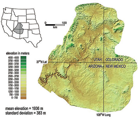
This Rendering was produced by the Los Alamos National Laboratory "Environmental Earth Sciences Division" in Los Alamos, New Mexico, apparently in the 1980's, and shows the BEDROCK MAPPING of the North-Central region of the State:

Of course the clastic flow damage has been filled in with sand and silt over the past 4-5 thousand years concealing the historical specifics, including the horseshoe under the present city of Espanola (pronounce Espan-yo-la, having a "~" over the "o").
And if you follow the contours of the Jemez Mountain, one might perceive that this was a "plug-dome" volcano some 50k years ago which blew it peak as far as Kansas, and now the western most line running from the caldera toward the high plains is a Scenic drive with a spectacular region where the clastic flow cut through solid rock and two rivers converged created a majestic "Battleship bow" precipice as the combined rivers currently course a gentle path toward the valley floor.
And there's so much other amazing geology in the Western Mountains which proclaims Evidence of Noah's Flood that one can hardly comprehend each significance, much less the totality of GOD's handiwork.
With Best Regards,
Bobby Jo
.
To All,
I typically don't post in this Section, but I shared the following Technical Rendering with a couple of fellow Forum Members, and thought I should equally share with like-minded Believers.
This Rendering was produced by the Los Alamos National Laboratory "Environmental Earth Sciences Division" in Los Alamos, New Mexico, apparently in the 1980's, and shows the BEDROCK MAPPING of the North-Central region of the State:
Of course the clastic flow damage has been filled in with sand and silt over the past 4-5 thousand years concealing the historical specifics, including the horseshoe under the present city of Espanola (pronounce Espan-yo-la, having a "~" over the "o").
And if you follow the contours of the Jemez Mountain, one might perceive that this was a "plug-dome" volcano some 50k years ago which blew it peak as far as Kansas, and now the western most line running from the caldera toward the high plains is a Scenic drive with a spectacular region where the clastic flow cut through solid rock and two rivers converged created a majestic "Battleship bow" precipice as the combined rivers currently course a gentle path toward the valley floor.
And there's so much other amazing geology in the Western Mountains which proclaims Evidence of Noah's Flood that one can hardly comprehend each significance, much less the totality of GOD's handiwork.
With Best Regards,
Bobby Jo
.